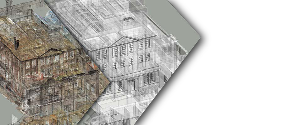
Reality 4D specializes in digitizing projects through modern engineering solutions.
Using advanced laser scanning technology, we collect millimeter-accurate field data and provide professional engineering consultancy to deliver precise as-built drawings documenting your project's final state.
We are ready to support you in transforming complex structures into manageable digital data. Please let us know how we can assist with your upcoming projects.